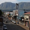
GARDEN ROUTE | KAROO NEWS - In the latest regional weather forecast issued by the South African Weather Service, the following impact-based warnings have been issued:
- Yellow level 2 Warning: Severe thunderstorms with heavy downpours, hail, excessive lightning and strong to damaging winds leading to localized flooding of susceptible areas and roads and localized damage to infrastructure is expected over Gauteng, the central and eastern parts of the Free State, the eastern parts of the North West, and the western and south-western parts of KwaZulu-Natal.
- Yellow level 2 Warning: Disruptive rain leading to localised flooding of susceptible settlements and roads is expected over the eastern parts of KwaZulu-Natal.
- Yellow level 1 Warning: Damaging winds and waves leading to difficulty in navigation at sea is expected between Cape Columbine and Cape Agulhas spreading to Plettenberg Bay on Friday.
Your expected weather on Thursday:
Western Cape:
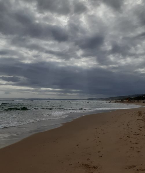
Partly cloudy to cloudy over the eastern and southern parts with isolated showers and rain along the south coast, otherwise fine and cool to warm.
The wind along the coast will be fresh to strong southerly in the west, but moderate to fresh south-easterly along the south coast, where it will become strong easterly from the afternoon.
The expected UVB sunburn index: Very High
Western half of the Eastern Cape:
Cloudy and cool with isolated showers and rain but scattered along the coast and over the eastern parts.
The wind along the coast will be light south-easterly, becoming moderate easterly by the afternoon.
Eastern half of the Eastern Cape
Cloudy and cool with scattered showers and thundershowers but widespread in the east.
The wind along the coast will be light to moderate south-easterly, becoming easterly by the evening.

According to yr.no, your maximum temperatures on Thursday are as follows:
- George 20°C
- Knysna 23°C
- Mossel Bay 23°C
- Riversdale 22°C
- Oudtshoorn 25°C
- Graaff-Reinet 22°C
‘We bring you the latest Garden Route, Hessequa, Karoo news’